Tasmanian Dog Walking Clubs Inc.
Peter Murrell Reserve Perimeter Walk
Details
-
Location- Blackmans Bay
-
Access- Between 42 & 46 Burwood Drive
-
Facilities- Dog bags and bins
-
Freedom- On lead
-
Time- 1 Hour 40 minutes
Information
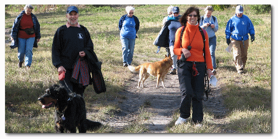
This walk is mostly off lead and can be entered from several starting points around the perimeter of the Peter Murrell Reserve. This trip starts from the far end of the Burwood Drive car park. Entry is via a driveway between 42 & 46 Burwood Drive. Two dog bins are located in the car park.
Commence by heading south along the fence line towards the horse riding zone. This track provides views of the higher slopes of Mt Wellington. Continue following the fence line to the Burwood Drive entrance near Brightwater Road. The track veers right adjacent to Brightwater Rd and then turns west along the back of Olearia Drive. This long downhill stretch provides some views over Margate and Northwest Bay. The track continues past the Huntingfield Pony Club’s cross country course. As a courtesy please put your dogs on lead when horses are approaching.
Dogs need to be on lead temporarily from the bottom gate. Turn left and head to the road turning right at the dog bin. Follow the road 250 metres to rejoin the track. From here you have two options. The first track on the right, the Howden Fire Trail, is a steady uphill climb following the power lines and will take you back to the Burwood Drive car park in 20 minutes. This is on-lead walking. Care is required as there are loose stones and gravel underfoot.
To continue along the perimeter walk (another 40 minutes) take the second track, which is indicated by a Horse Riding Zone sign. This area is off lead. The perimeter walk from here will take you through grassland, which is slashed irregularly and varies in length and wetness. If you would rather avoid the grass, continue to the right after the gate and on to the Middle Fire Trail (10 minutes on-lead). Otherwise veer to the left after the gate and follow the golf course boundary. The path eventually veers to the left and continues across the creek, which provides a good watering spot.
Approximately 50 meters past the creek turn left at the T junction, head up the rise and turn right at the gate following the fence line and enjoy the pleasant views encompassing Mt Wellington.
About 300metres further you will see the duck pond on the right. The track continues through the paddock above the pond. After passing through the (usually dry) creek bed follow the fence line, as dogs aren’t permitted near the Disabled Anglers Pond, which will now be to your right. Turn right and follow the gravel road and go through the car park. This is now an on-lead area.
Walk through the gateway and turn right onto the Coffee Creek Fire Trail. Continue another 300 metres and turn left into the Scarborough Fire Trail which leads you up a gentle slope, following the power lines, to the Scarborough Drive car park where a dog bin is located. Continue following the power lines along a short sandy track and then follow the road for approximately 50 metres to join the Lady Penrhyn Fire Trail.
This stretch follows the power lines past the pump station and along the gravel road to the Eastern Fire Trail. Turn left before the sign and follow the track up the hill on the right hand side of the gravel road.
Pass behind the Peter Murrell Reserve sign and follow the track past the Middle Fire Trail sign. From here it is downhill to the Burwood Drive car park and dogs can be off lead again. Halfway down the hill is a boggy patch, following rain, which you can avoid by walking over the grass well to the right of the track.